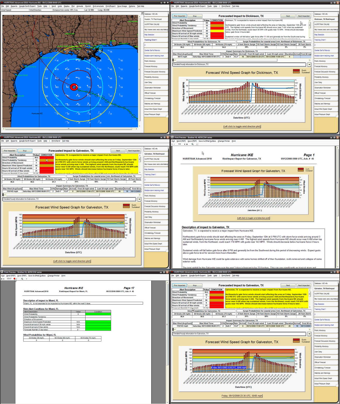
A new information "tab" has been added to the application which displays the Risk/Impact information, along with a wind speed/ direction graph for your base locations. In addition you now have the ability to define more than one "base" location allowing you to quickly assess the forecasted impacts to all of your high priority sites/locations by simply selecting the "Next" or "Next Impacted" buttons.
Please give the animated GIF (below) a few seconds to load
