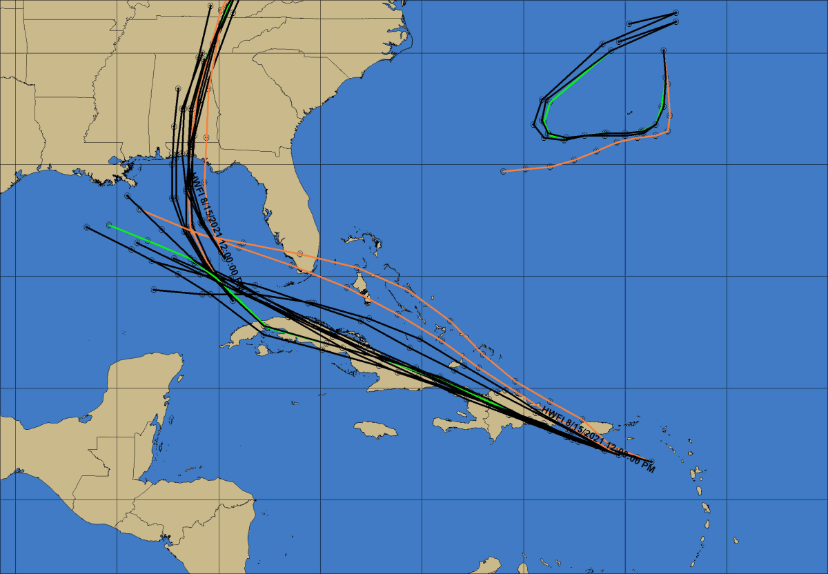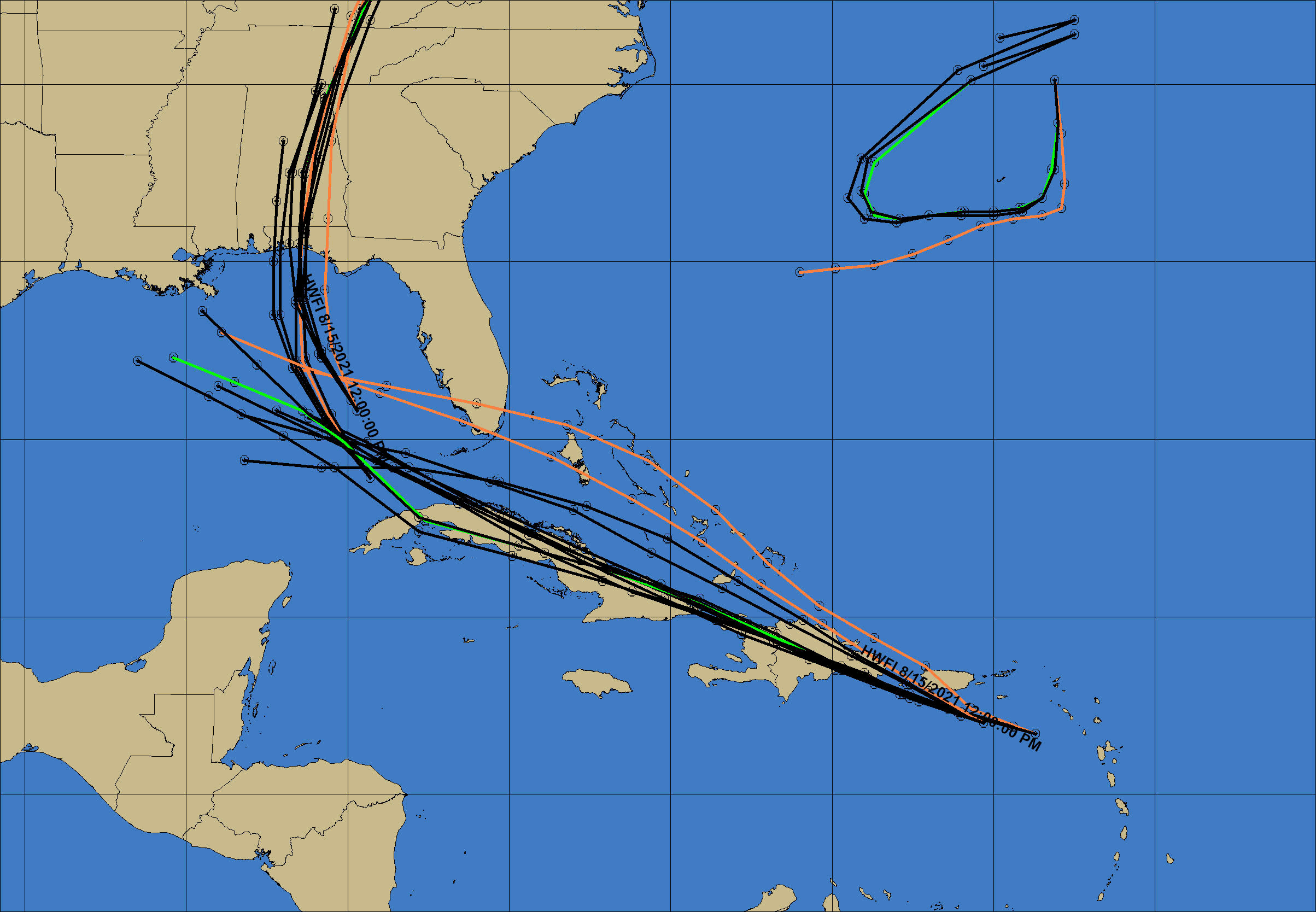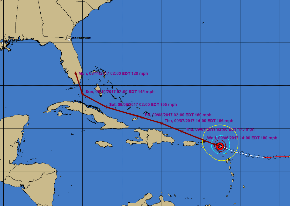
This version of the Hurrtrak system includes considerable changes to the system maps by taking advantage of the built in GIS layering capabilities. Over 20 new map layers have been added allowing the user to extensively customize the look and feel of the system. This also includes using the systems "high dpi" setting for most program modules.
All layers are customizable and you can also import your own ERSI shape files.
Examples of Mapping Changes in system are shown below (scroll down).