National Land Cover Database
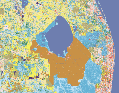
The NLCD database has land usage information on every state. An example of the land usage graphic for part of S. Florida is shown below. It shows the urban land usage of the Florida east coast as well as the Everglades and Crop areas. With his information we can estimate the "roughness index" (friction) for any location by direction of wind. i.e. an East wind into Palm Beach has a different "roughness index" than a west wind.
