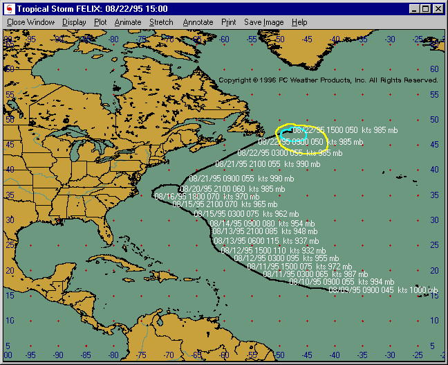
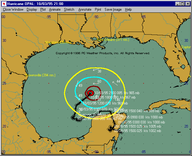
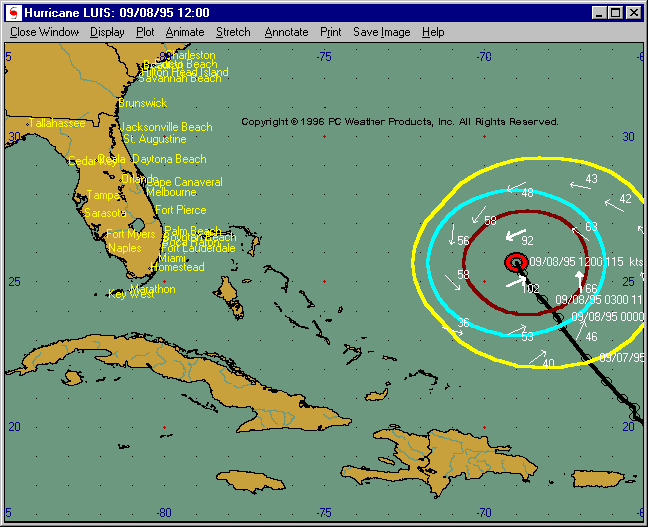
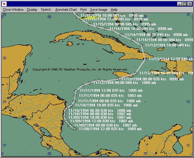
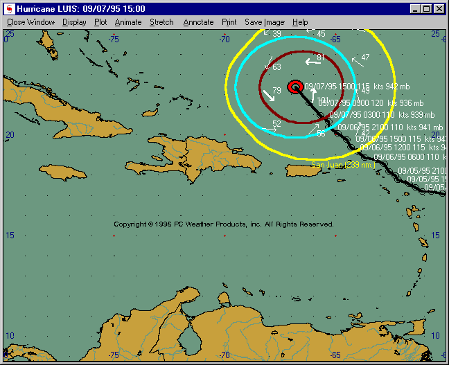
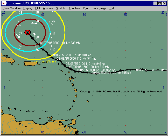
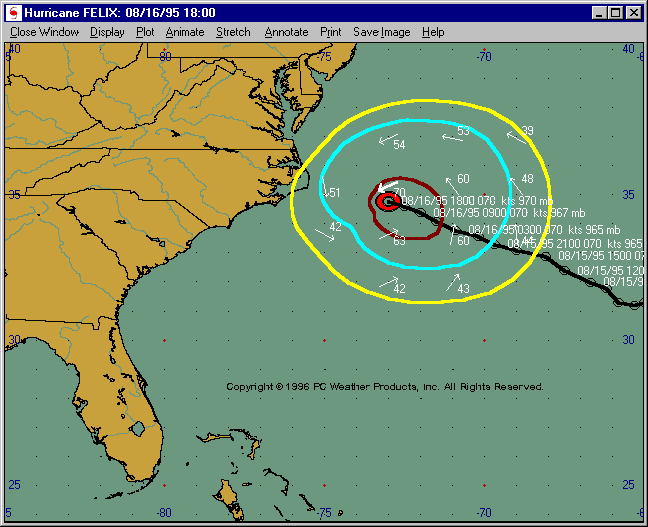
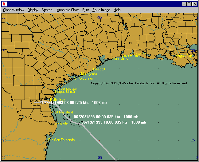
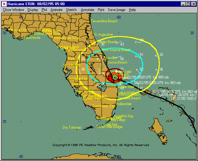
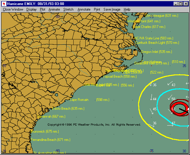
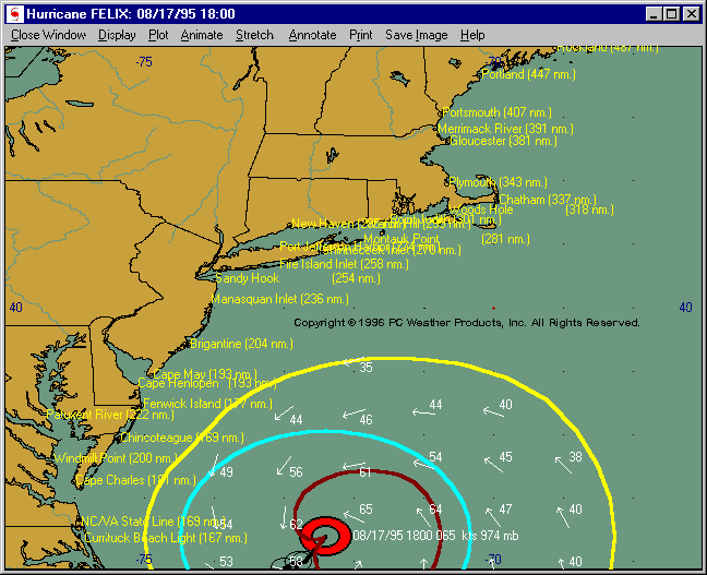
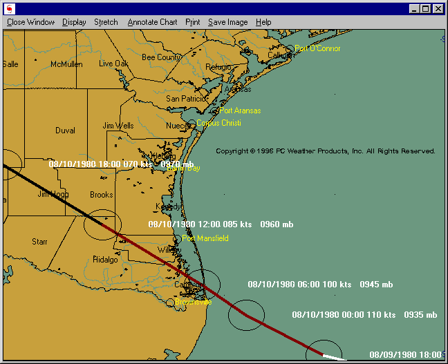
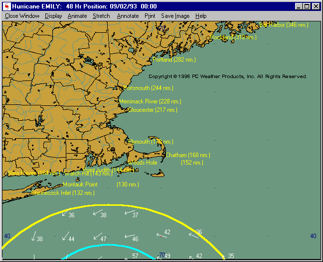
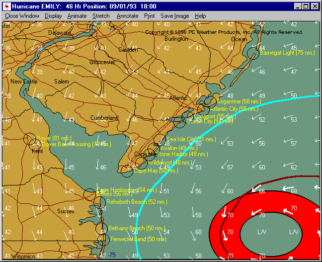
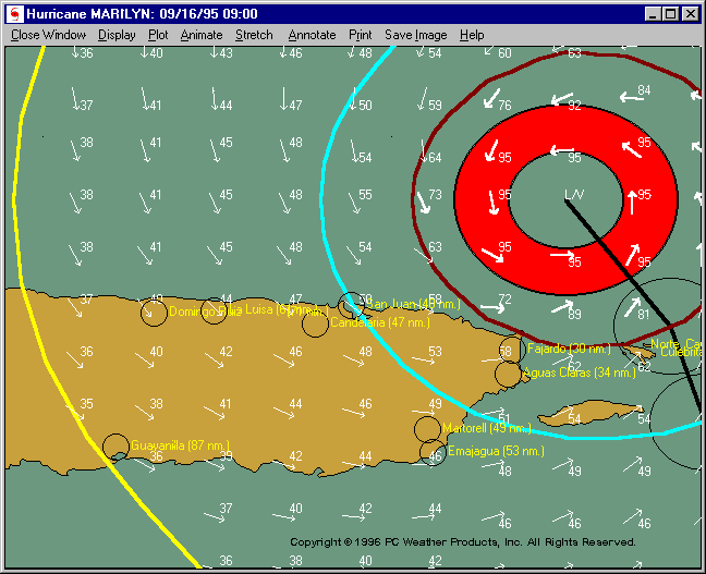
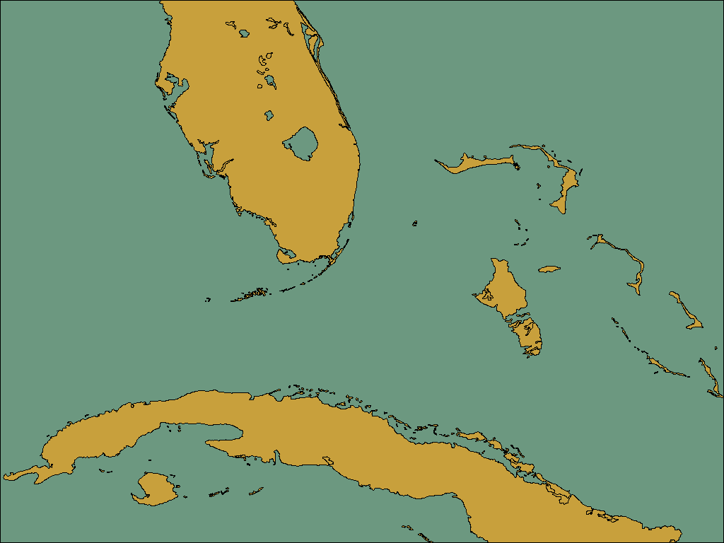
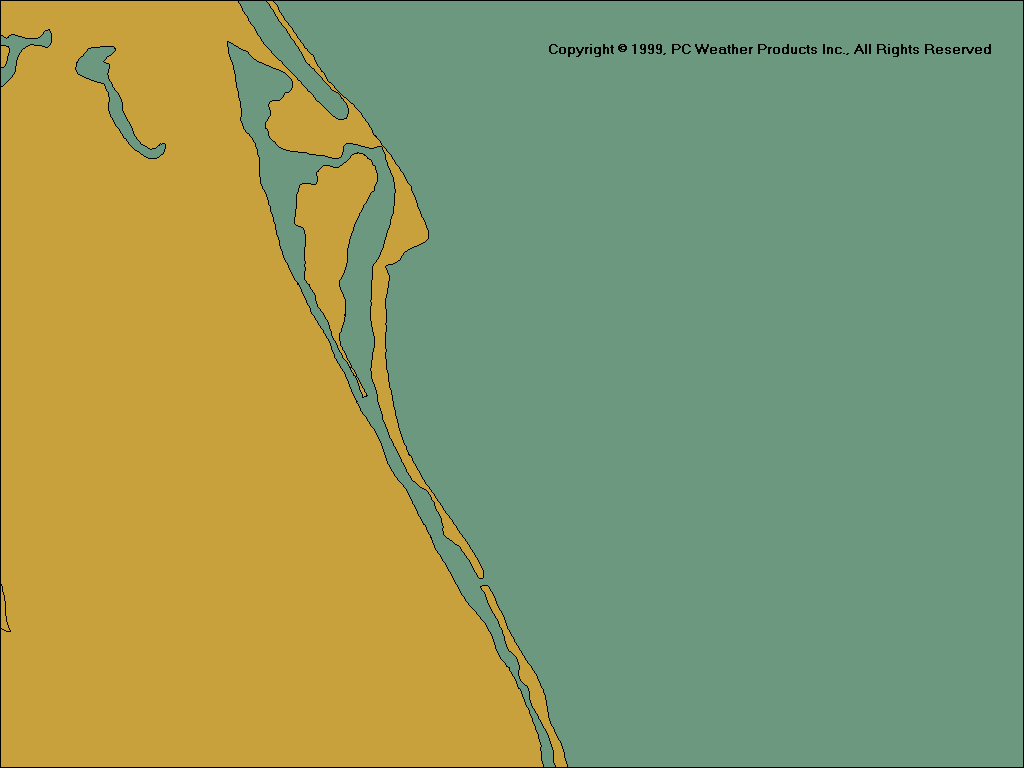
31 Highly Detailed Tracking Charts
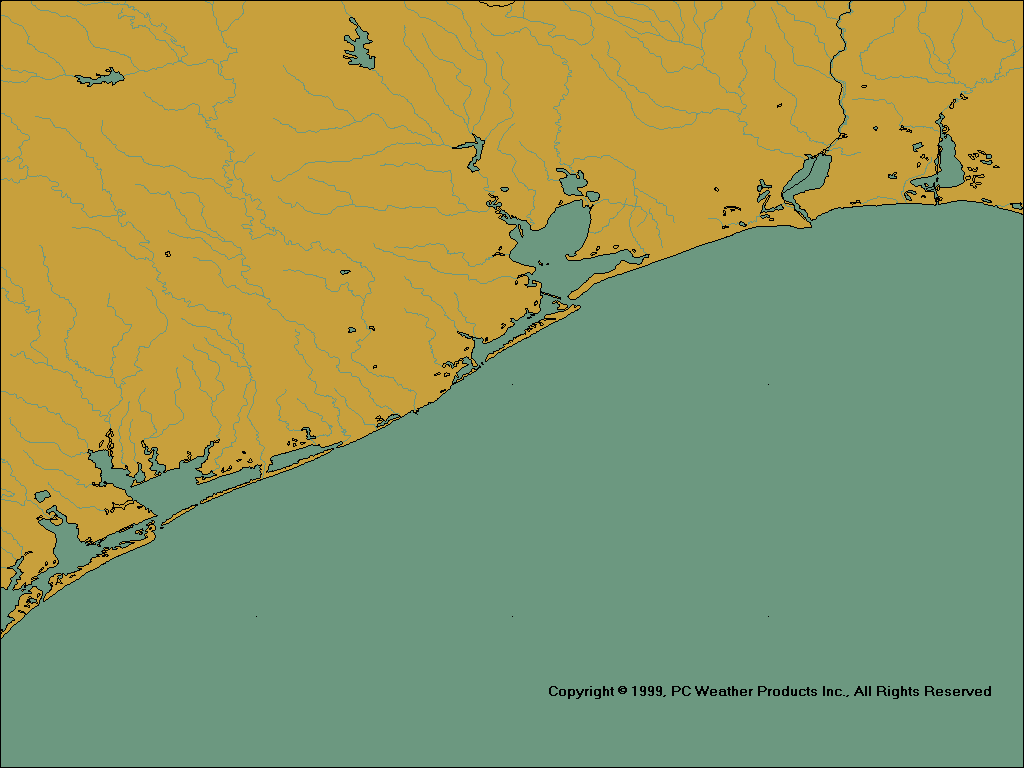
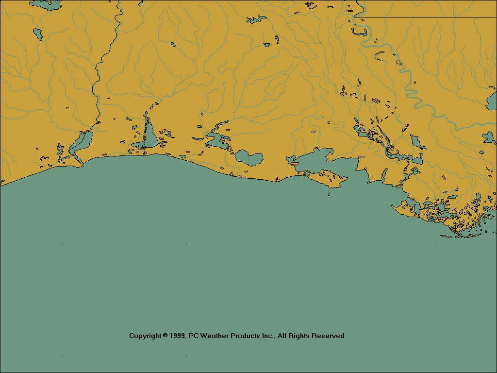
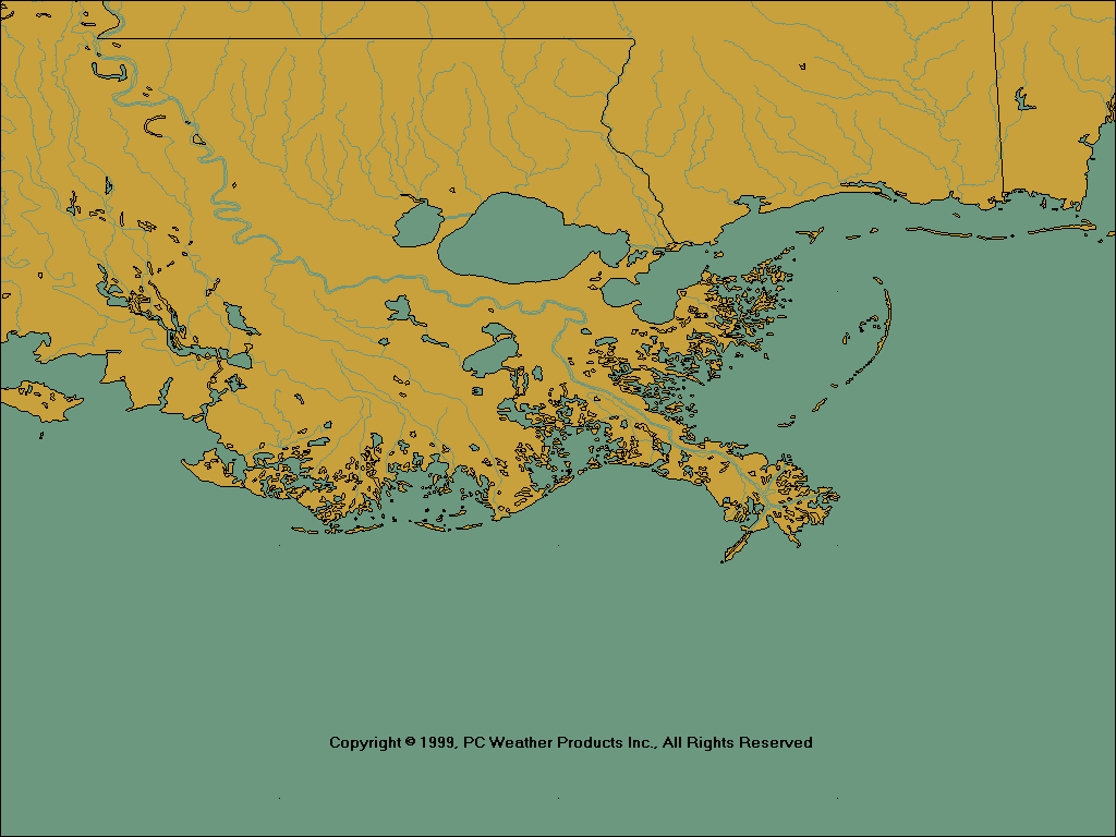
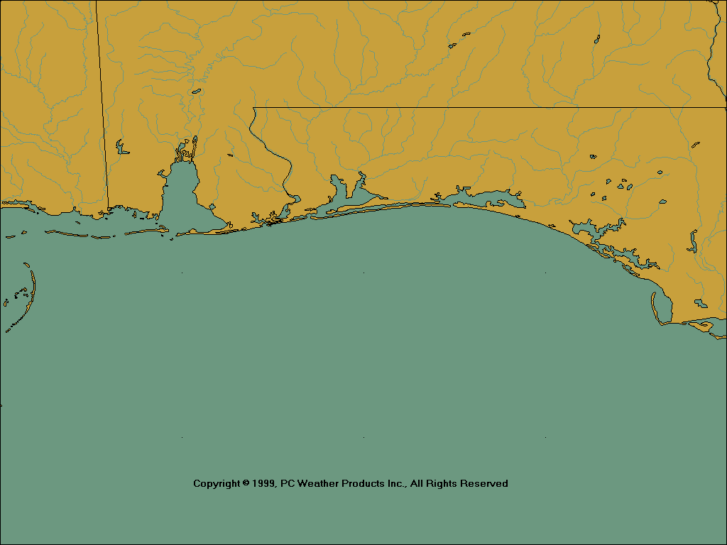
The Hurrtrak Professional (and all) system includes 26 detailed tracking charts covering every the entire Atlantic, Gulf and Carribean. The user can create up to 5 additional custom tracking charts for just about any area desired. Click on the thumbnails below to see a larger image.
640 X 480 Images
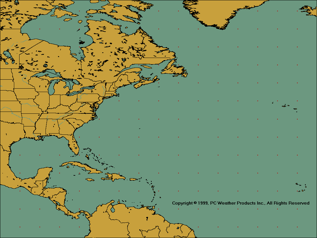
Full Atlantic
Western Atlantic
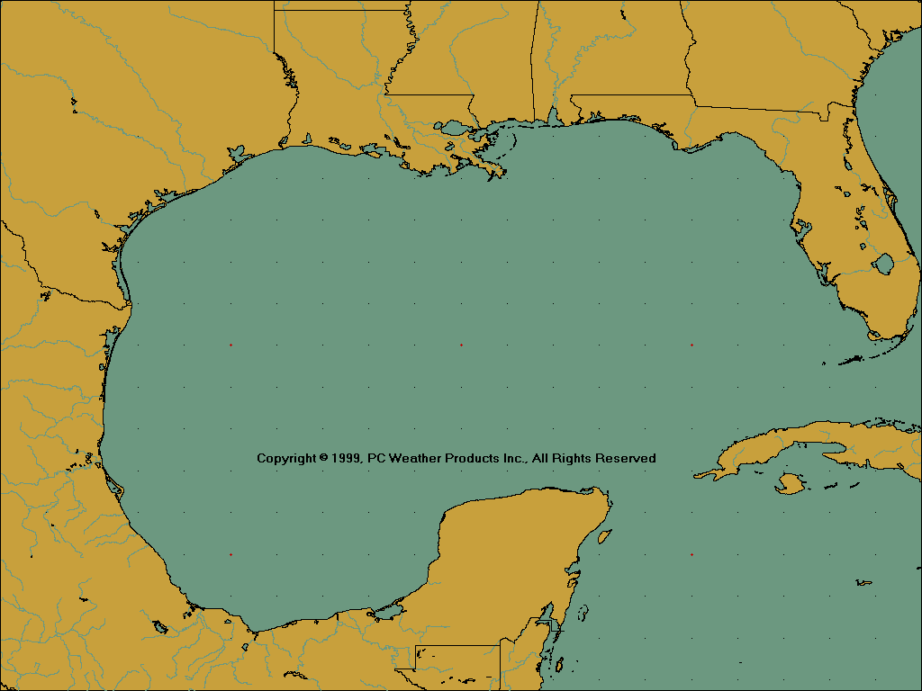
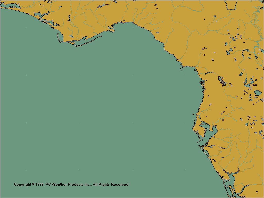
Central Gulf
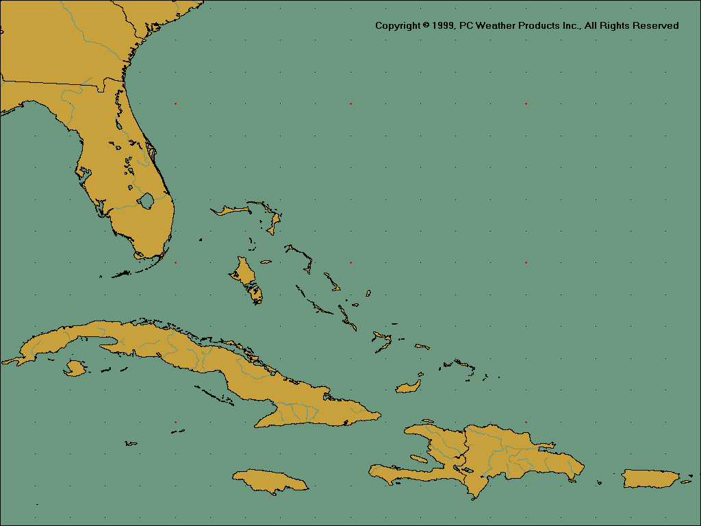
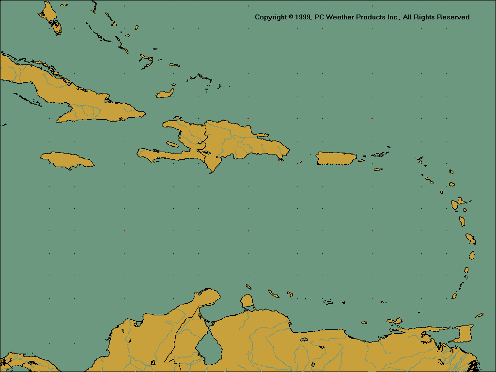
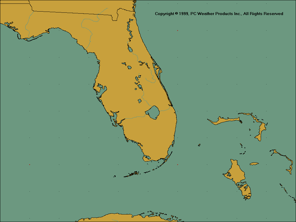
Greater Antilles / Florida
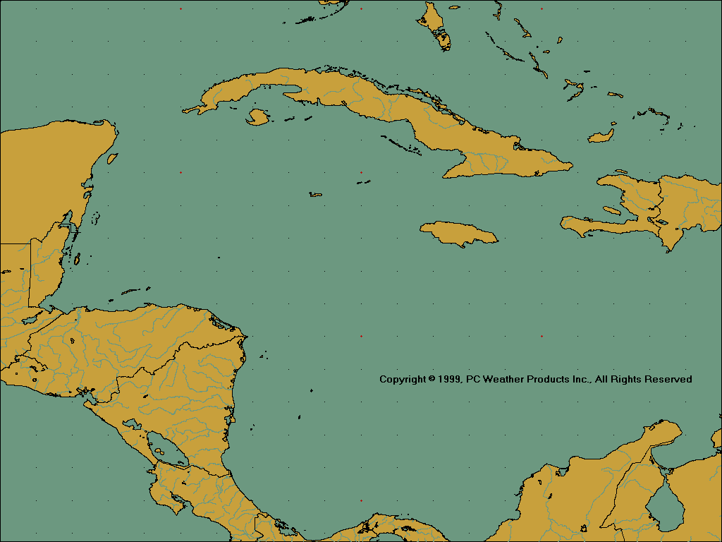
Western Caribbean
Central Caribbean
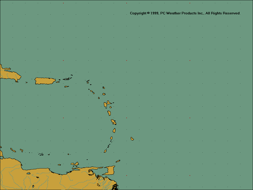
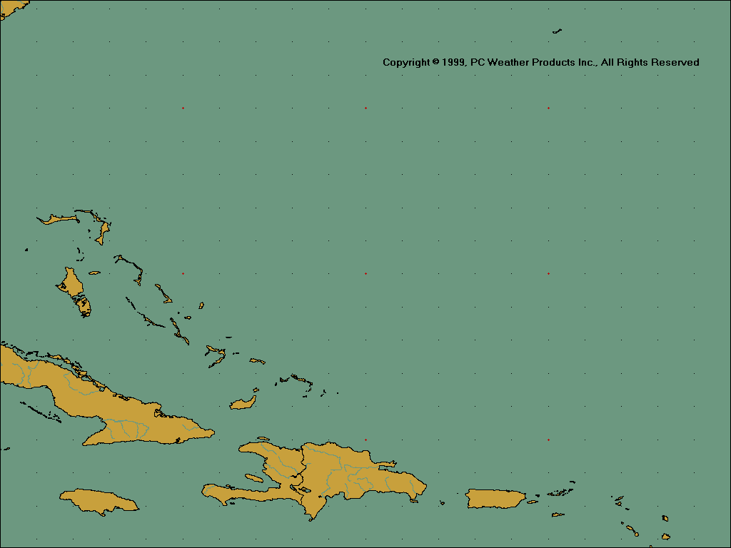
Lesser Antilles
Southeast Coastal
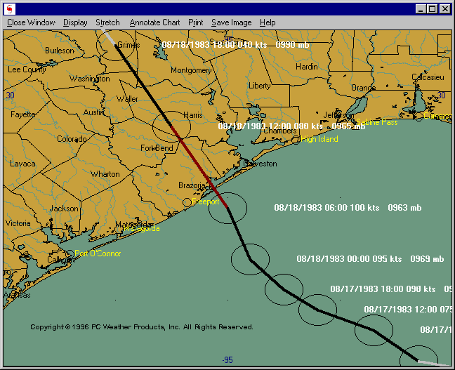
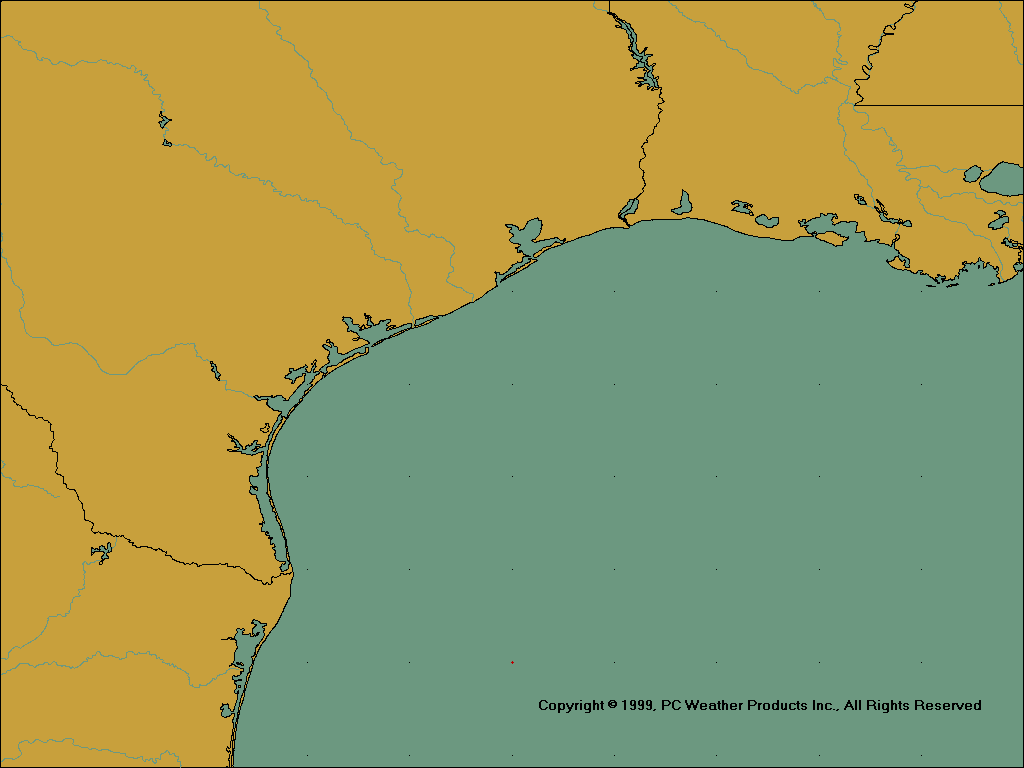
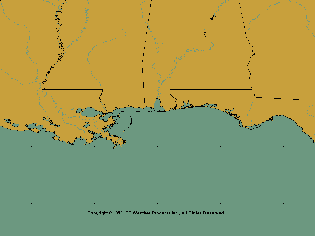
Texas / Louisiana
North Central Gulf Coast
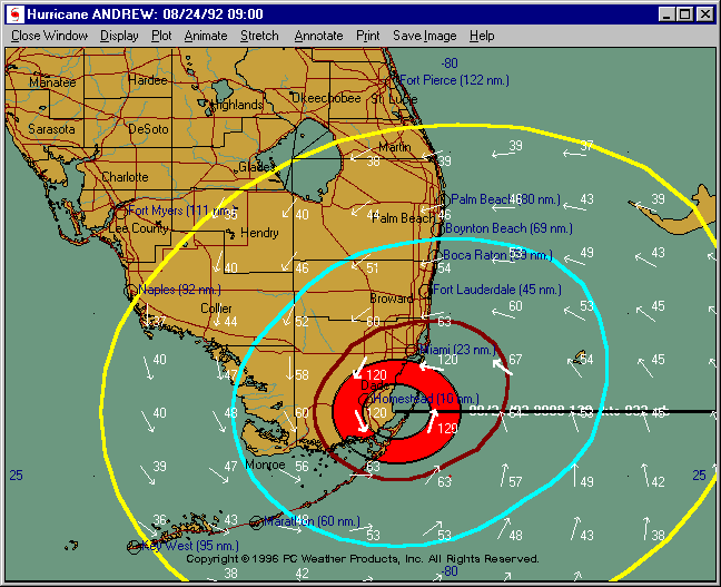
Florida
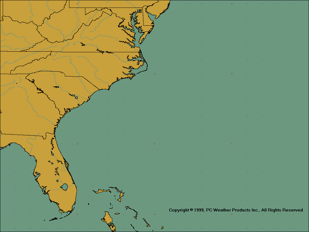
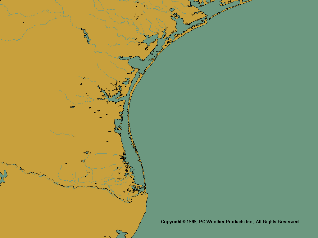
Carolina Coast
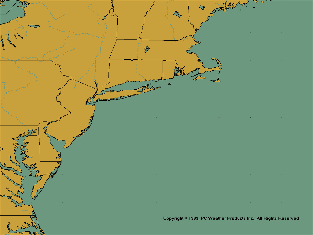
East Coast
Northeast States
South Texas
Northeast Texas
Southwest Louisiana
Louisiana/Mississippi
Alabama/Florida Panhandle
West Florida
South Florida
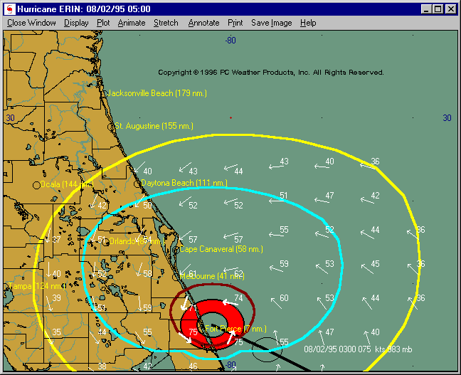
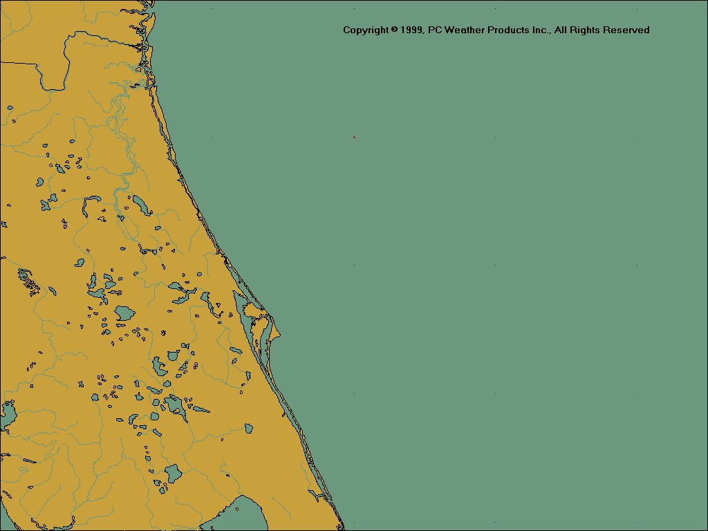
Northeast Florida
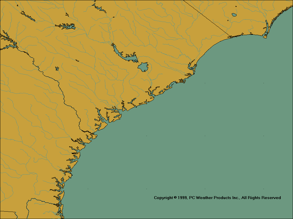
Georgia/South Carolina
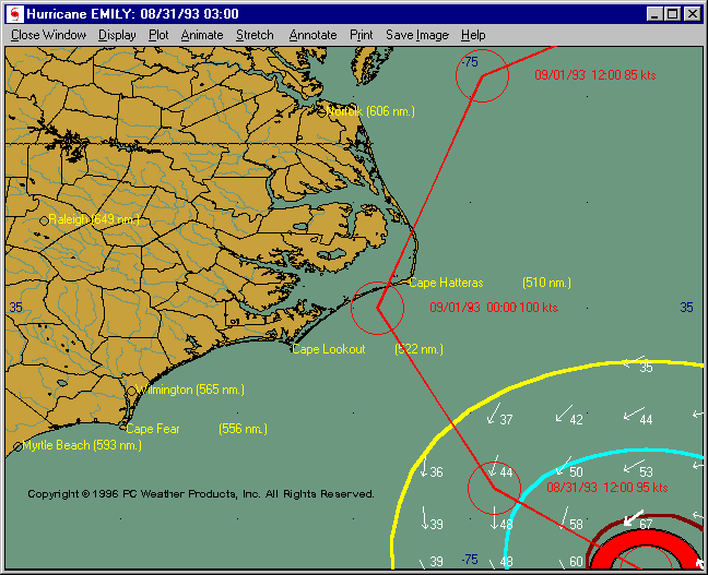
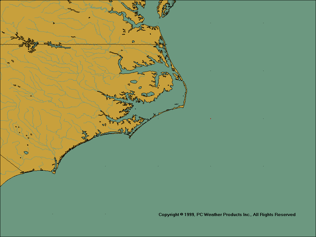
North Carolina/Virginia
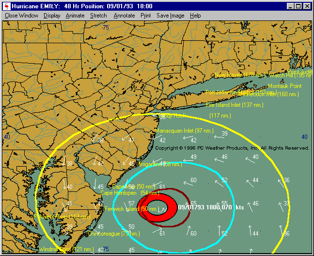
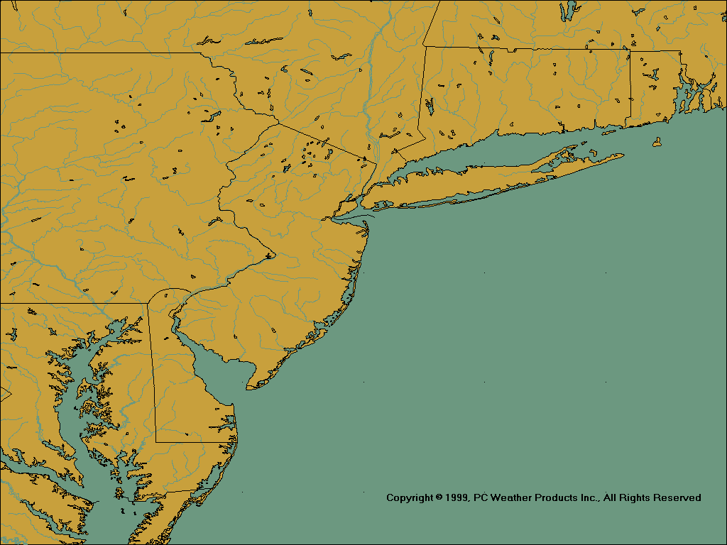
Mid Atlantic
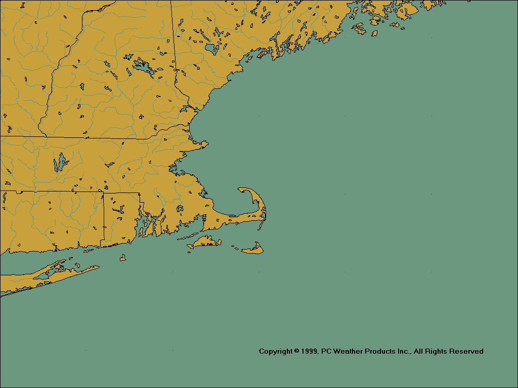
New England
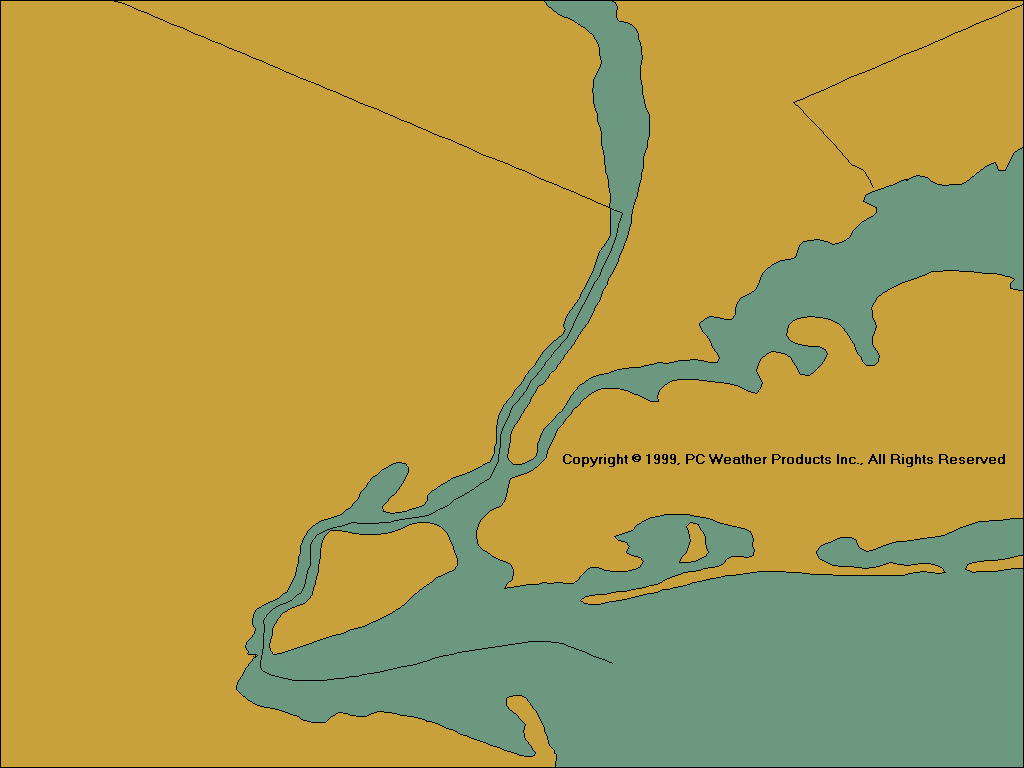
Custom Map 1 (example)
Custom Map 2 (example)
Custom Map 3 (example)
Custom Map 4 (example)
Custom Map 5 (example)